Once you have the application, you will see that it asks you to activate the GPS, you will also 
You will see that the camera of the mobile is now activated and on the screen you have on the right a radar and on the left a map icon and a listing icon. If you orient yourself in the street you will see that you are going to leave a kind of «drops» where it tells you the place of the different points of interest.

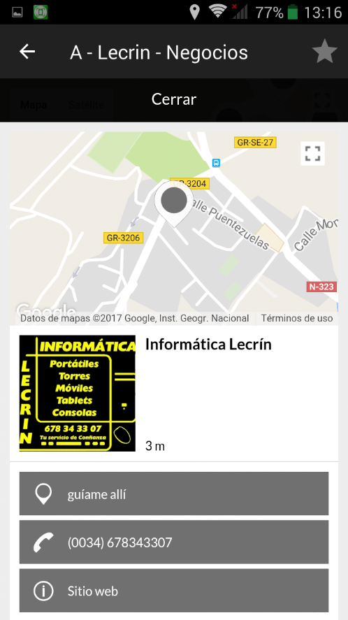
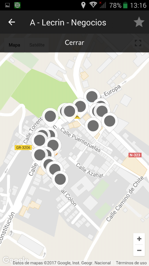
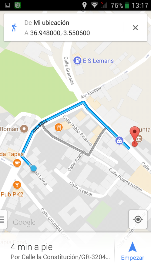
If you click on the map icon, you will see a map of the location of the business or tourist attractions in the area, the map can enlarge or reduce.
Selecting one of these points will show details of the same, such as actual distance to where you are at that time, dial-up telephone number, Web and various data.
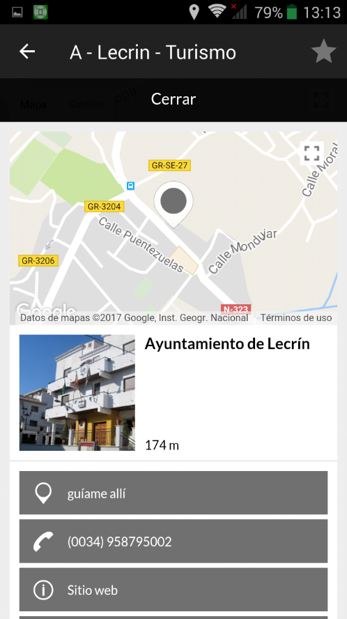
If you take the option «Guide me there» you will map the different ways by which you can reach the point of interest.
Its handling is easy and intuitive, you can also access in the main menu where the radar appears and map to the «List» icon. In it you will see the business relation or points of interest sorted by distance to your current location.
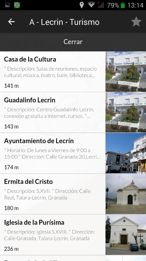
You can select any of them from the long list and get more information about it.